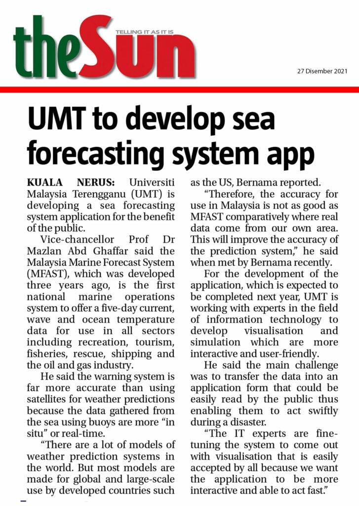
KUALA NERUS: Universiti Malaysia Terengganu (UMT) is developing a sea forecasting system application for the benefit of the general public.
Vice-chancellor Prof Dr Mazlan Abd Ghaffar said the Malaysia Marine Forecast System (MFAST) which was first developed three years ago is the first national marine operations system that offered a five-day current, wave and ocean temperature data for use in all sectors including recreation, tourism, fisheries, rescue, shipping and also the oil and gas industry.
He said the warning system is far more accurate compared with using satellites for weather predictions because the data or information gathered from the sea using buoys are more ‘in situ’ or real-time.
“There are a lot of models of weather prediction systems in the world. But most models are made for global and large-scale use by developed countries such as the United States.
“Therefore, the accuracy for use in Malaysia is not as good as MFAST comparatively where real data come from our own area. This will improve the accuracy of the prediction system,” he said when met by Bernama recently.
For the development of the application which is expected to be completed next year, UMT is working with experts in the field of information technology to develop visualisation and simulation which are more interactive and user-friendly.
He said the main challenge was to transfer the data into an application form that could be easily read by the public thus enabling them to act swiftly during a disaster.
“The IT experts are fine-tuning the system to come out with visualisation that is easily accepted by all because we want the application to be more interactive and able to act fast,” he said.
In the meantime, Mazlan said UMT has also implemented the ‘Engaging Public With Ocean Forecasting System’ programme to provide relevant knowledge related to marine forecasting systems to the public.
Ït is very important for us to educate the public on how to understand the information or ‘maps’ displayed on the screen of any weather prediction system so that they are prepared for disaster,” he said. — Bernama
